

Anthony Pelly
Cartographer, with roots in farming and estate management
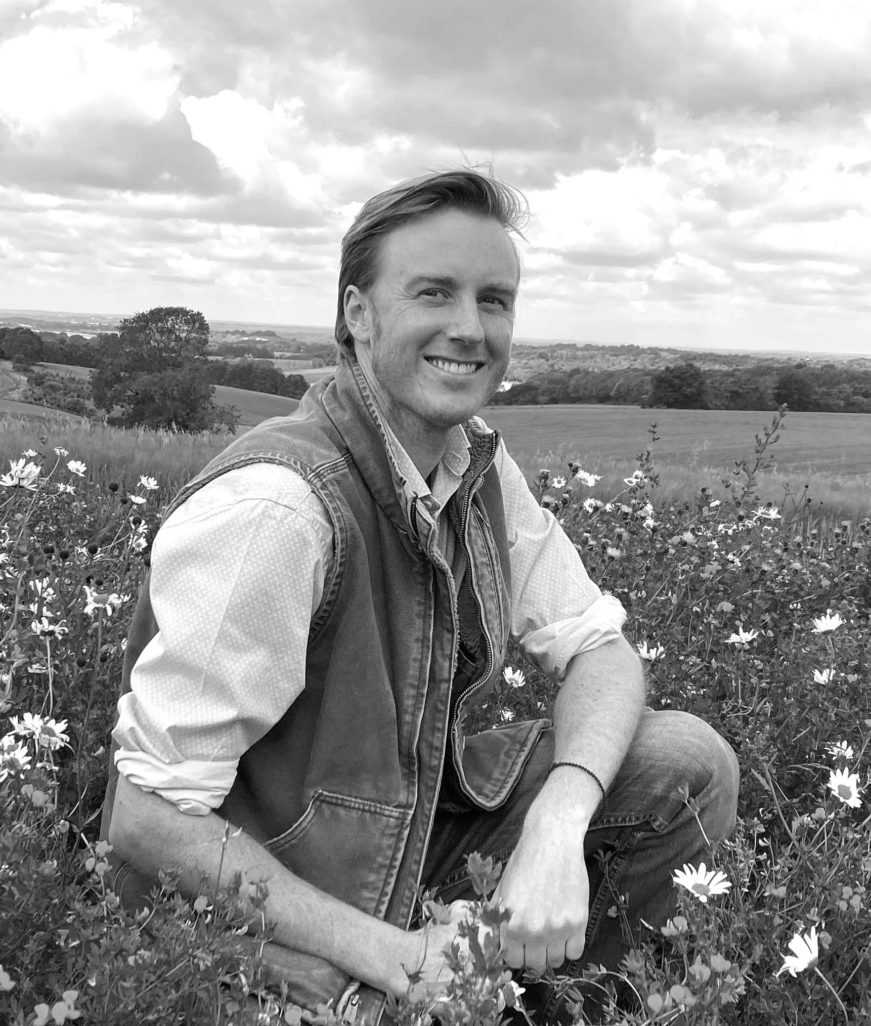
Anthony Pelly is a cartographer. He farms his family's estate in Hampshire, held for six generations and designated a National Heritage asset, and spends his summers on the family's ranch in Wyoming. He has lived between these two landscapes for as long as he can remember, and Rural Maps was built on both.
His grounding in historic landscapes came before Rural Maps. As project manager at Heveningham Hall in Suffolk, Anthony helped realise part of a parkland laid out by Capability Brown in 1782, across some 8,000 acres, and mapped the estate along the way. Rural Maps itself began in 2013, closer to home: realising a Kim Wilkie landscape across his family's land in Hampshire, he needed a map good enough to work from. None existed, so he drew one.
Trained in design and architecture in Britain and the United States, Anthony sits on the board of the Rural Business Group, advising government at 10 Downing Street on the future of rural enterprise, and has guest lectured on cartography at Stanford University. His work has been featured in the Financial Times, The Field and Quest Magazine, and on BBC Countryfile.
The Standard
The estate maps of the seventeenth, eighteenth and nineteenth centuries were works of scholarship as much as record. Their borders carried the wildlife of the place, their cartouches the family arms, their lettering drawn by hand to a standard that is difficult to equal. They understood that a record of land someone loves should be beautiful as well as accurate. Rural Maps works within that tradition.
Anthony's sense of what that means came from a neighbour in Wyoming, a craftsman named Jim Wear, who made six-horse hitch harnesses and gun cases for London's best gunmakers. His method never varied: find the finest examples, understand exactly how they were made, and work back from them. Anthony brings the same thinking to a map. The great estate maps set a standard that is difficult to equal; the work begins by studying them closely, and aims to bring something of that ambition to the land as it is today.
“Maps don’t just tell us where we are; they tell us who we are.”
The Studio
Rural Maps is Anthony's atelier. The historical research, the survey on the ground and the design of each map are his own, and from first enquiry to final delivery clients deal with him directly. The maps are drawn by hand, on screen: a modern hybrid of traditional draughtsmanship and digital tools, which keeps every field and tree individual and lets a finished map be revised and reprinted as the land changes, rather than begun again.
A small studio works to his direction, much as a cartographer's survey party once walked the land and brought back the material for the finished map. Ben carries out the studio survey from aerial imagery, building the framework that is then verified and completed on the ground. Catherine sources that imagery, at times tasking a satellite to capture fresh pictures of a particular stretch of land anywhere in the world. Rachel's eye is for the quality of the line: she studies the drawing techniques of the old cartographers in the map reading room at the British Library, the weight and character of their hands, and brings that sensibility to the way each map is drawn today. The illustrations are by the artist Jonathan Pointer, in pencil and gouache.
The written history is the work of Daphne, Anthony's partner, who takes what he uncovers about a property and shapes it into the account set within the print. On commissions where the family and their connection to the land are at the heart of the map, she often joins him on the visit, and many such commissions become as much a friendship as a piece of work. The studio works from a converted brick and flint barn high on the South Downs, within a working farm.


A Note on Confidentiality
Many of the most significant commissions never appear here. What a map reveals about a property stays between Anthony and the client, unless the client chooses otherwise. Those who have agreed to be named include Raymond Harbert, of Sedgefields Plantation, Alabama; J. Pepe Fanjul, of Amistad Ranch, Florida; and Ty Schultz, of EV Ranch, Colorado. What is shown here is a small part of a larger body of work: over three million acres mapped across four continents since 2013.
Rural Maps maintains a deliberately limited presence on social media.