Printing, Framing and Delivery
How a finished map is printed, framed and brought to the wall
A map is only as good as the object it becomes. Once the cartography and illustrations are finished, the same care that went into the survey goes into the print, the frame and the delivery, so the map that arrives is one to hang for generations.
The Print
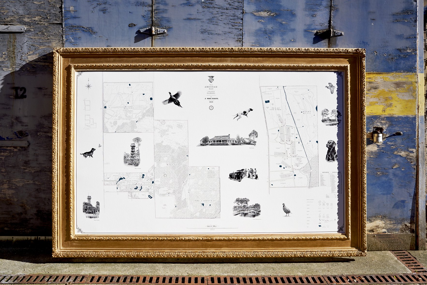
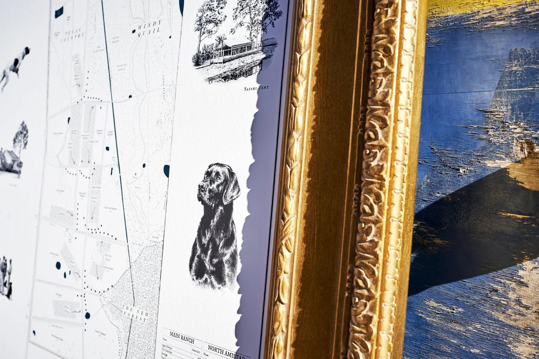
Each map is printed as a museum-quality Giclée by a specialist fine-art printer in London, on the finest textured archival paper with pigment inks that will hold for around two hundred years before any sign of fading. The maps are large, commonly several feet across, and printed at a scale that lets every named field, drive and tree be read, and the fine lettering and the detail of the illustrations sit exactly as drawn.
The Frame
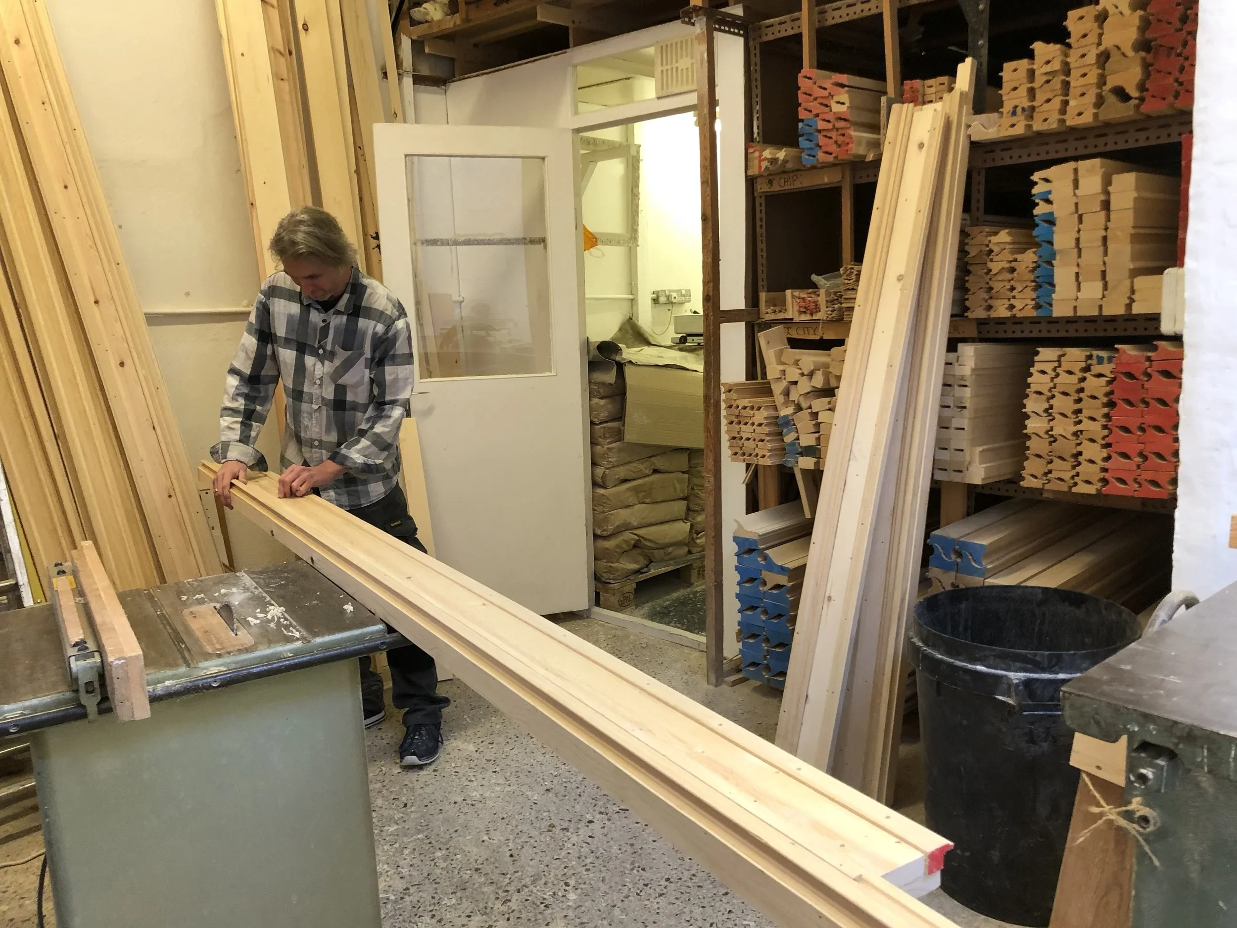
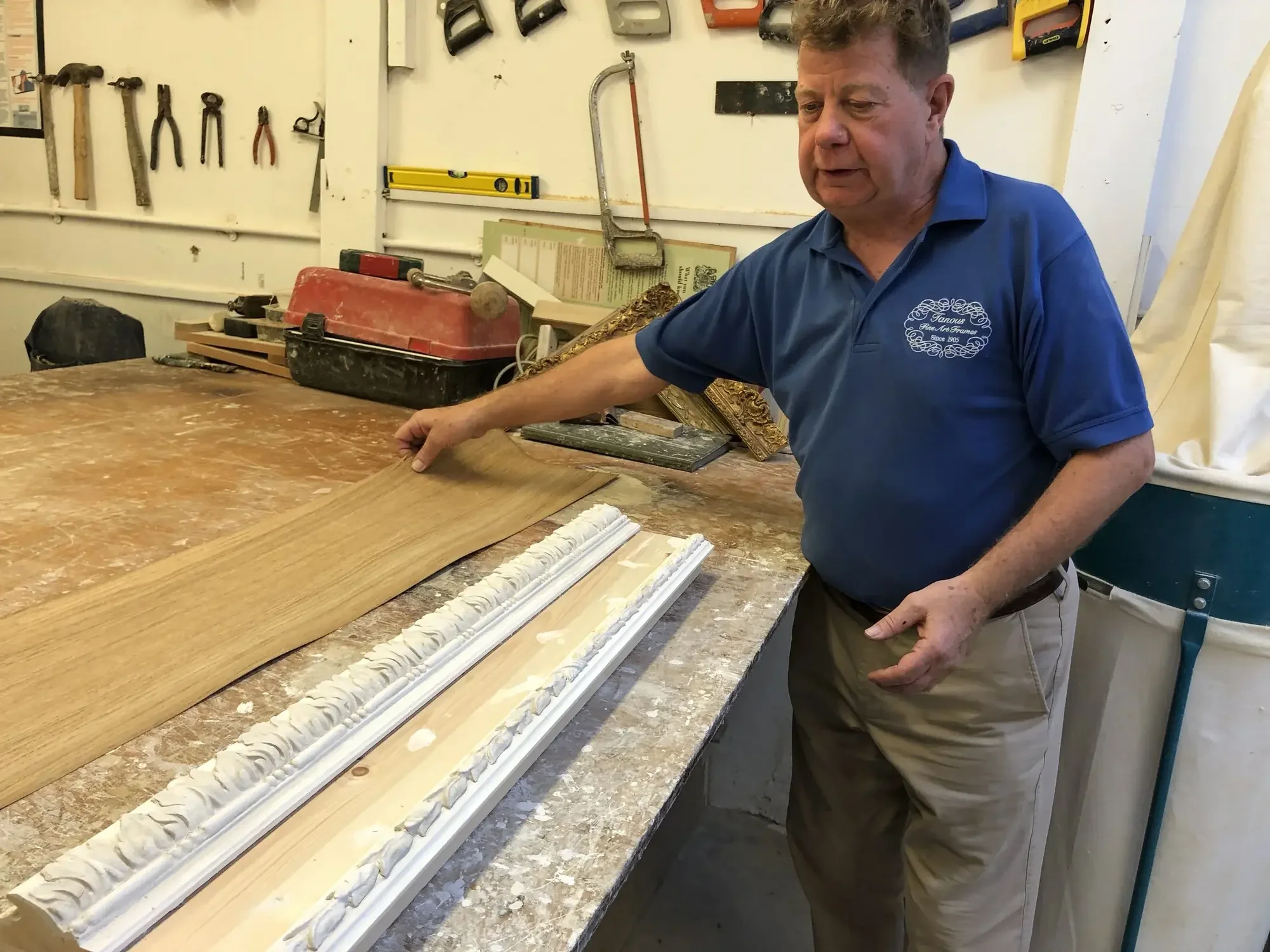
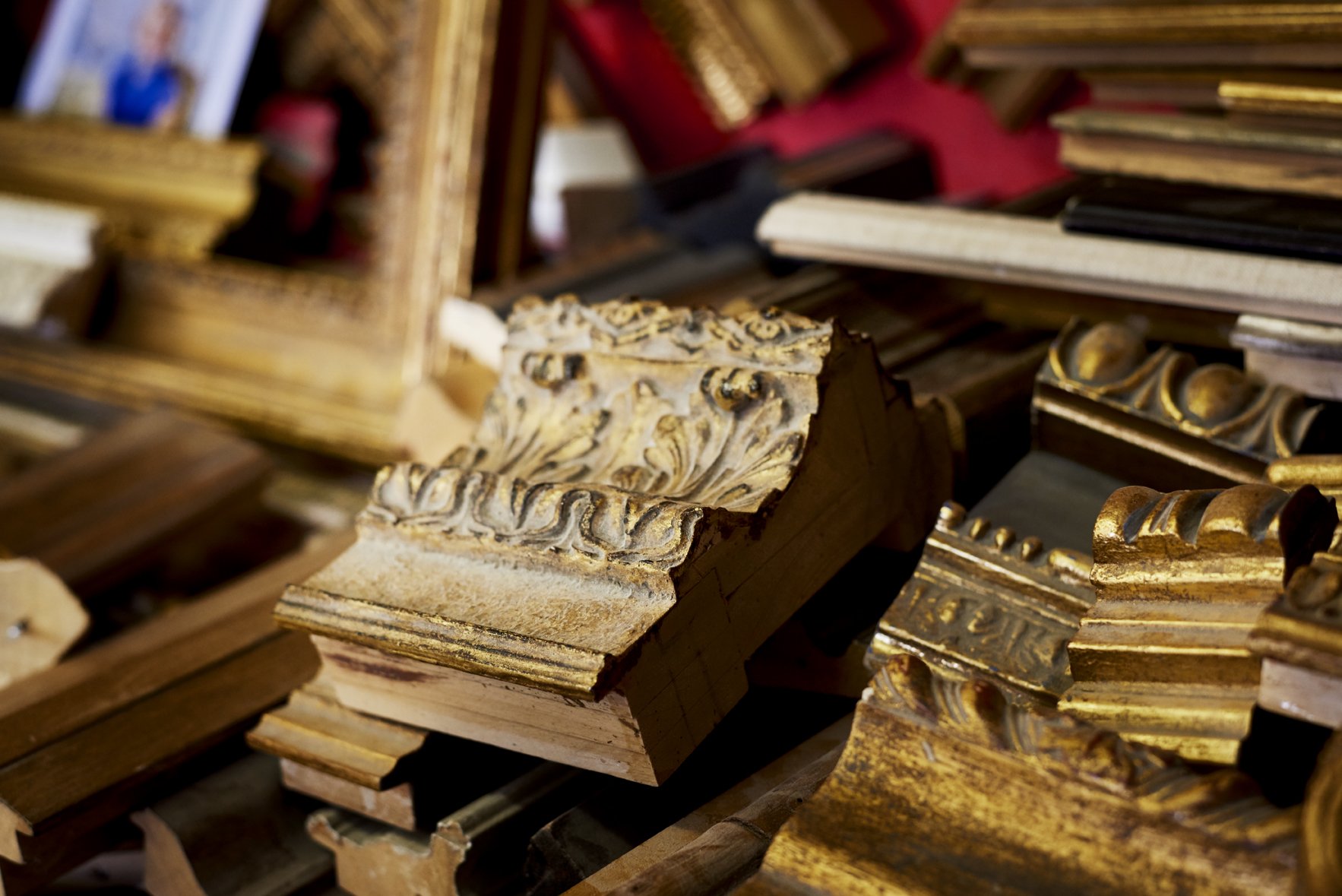
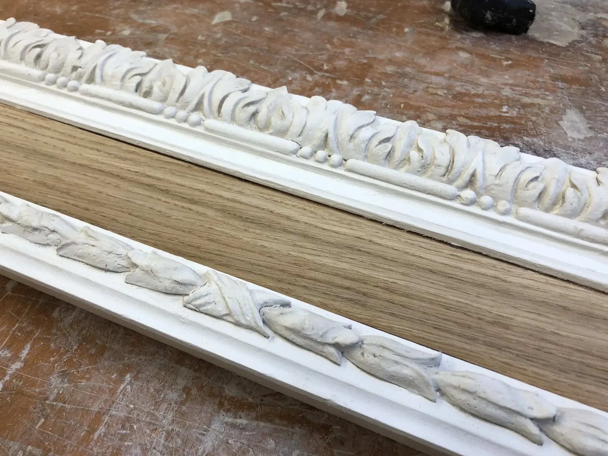
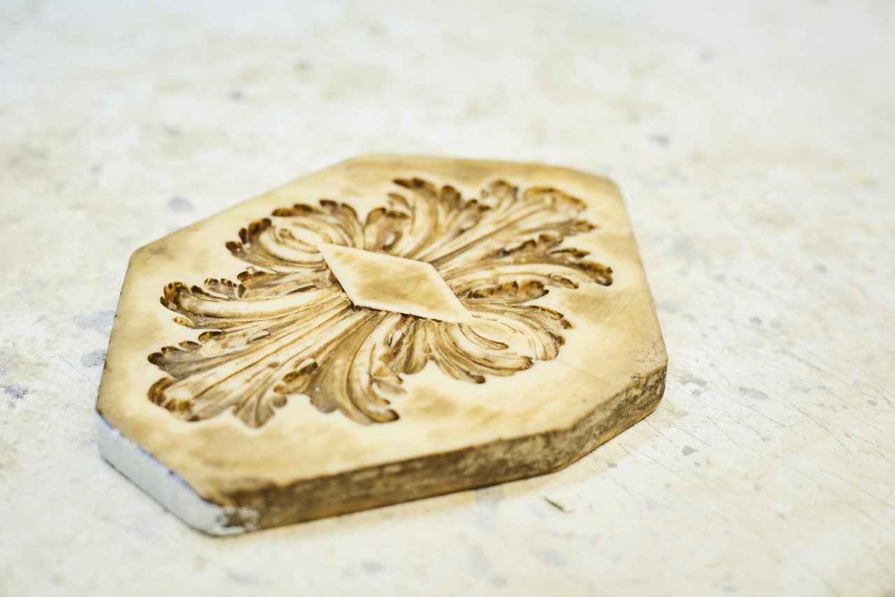
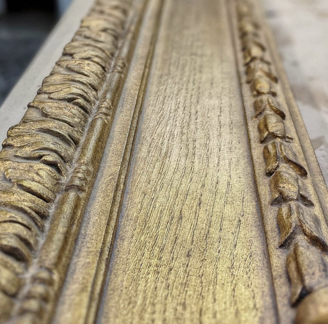
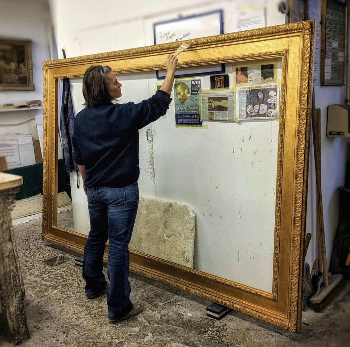
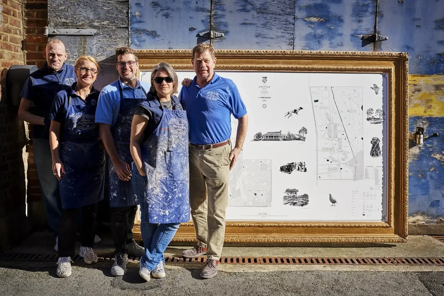
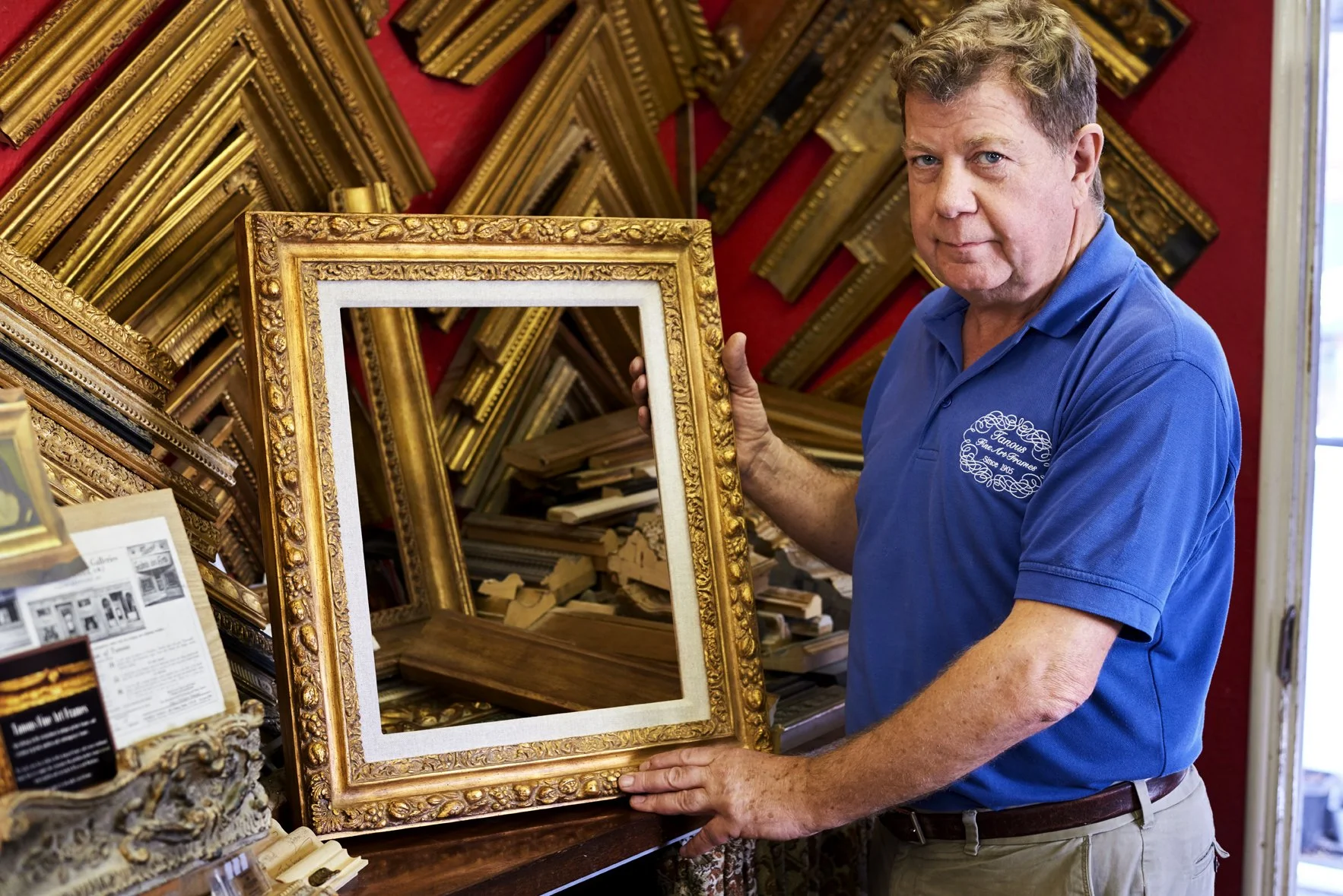
Framing is arranged as you wish. If you would rather use a framer local to you, the map is rolled and shipped in a tube. For framing in Britain, Anthony recommends Derek Tanous, one of Europe's most esteemed fine-art framers. Derek and his team make each frame from scratch, from a wide range of styles: handcrafted in timber, with ornate plasterwork applied using two-hundred-year-old Victorian hand-carved wooden moulds, and finished with gold leaf, aged and toned to a classic antique patina. Framing is arranged and priced separately from the map.
The Original Illustrations
While the map itself is printed, the illustrations on it are original works in pencil and gouache, by the artist Jonathan Pointer. The originals are sent to you on completion, yours to keep, framed alongside the map or hung in their own right, a set of drawings particular to your property and to no other.
Delivery, Anywhere
Once framed, the map is packed in a custom wooden crate and shipped, by air or sea, by Momart, the fine-art movers who carry works for the world's great galleries. They manage the whole process, the crating, all customs and documentation, and, if you wish, white-glove delivery and installation on your wall. Maps have been delivered to clients across the United States, Europe and Australia. Distance is no barrier.
Hung to Be Read
A map this size is hung to be read, not merely looked at. Anthony advises on placement for the room it will live in: a large framed map is often hung low, its lower edge around twenty-seven inches from the floor, so the natural eyeline falls in the upper third of the map, where the detail is densest. Small considerations of this kind are part of seeing the work properly settled in its setting.
For the very largest commissions, a map can be presented as a triptych: drawn across three panels and framed to hang together as a single work, so that a map several feet across reads comfortably on the wall.
Further Copies
Many clients commission further framed copies of a finished map, for other homes, offices, lodges or boats, or simply to keep a piece of the land with them wherever they go. Smaller copies and pocket game cards can be drawn from the same survey.