

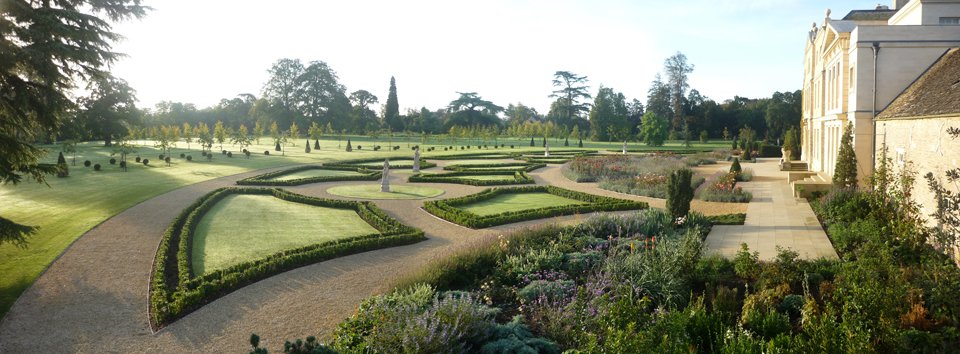
Williamstrip Park, Gloucestershire
A Cotswolds estate, mapped once and returned to as the land has changed
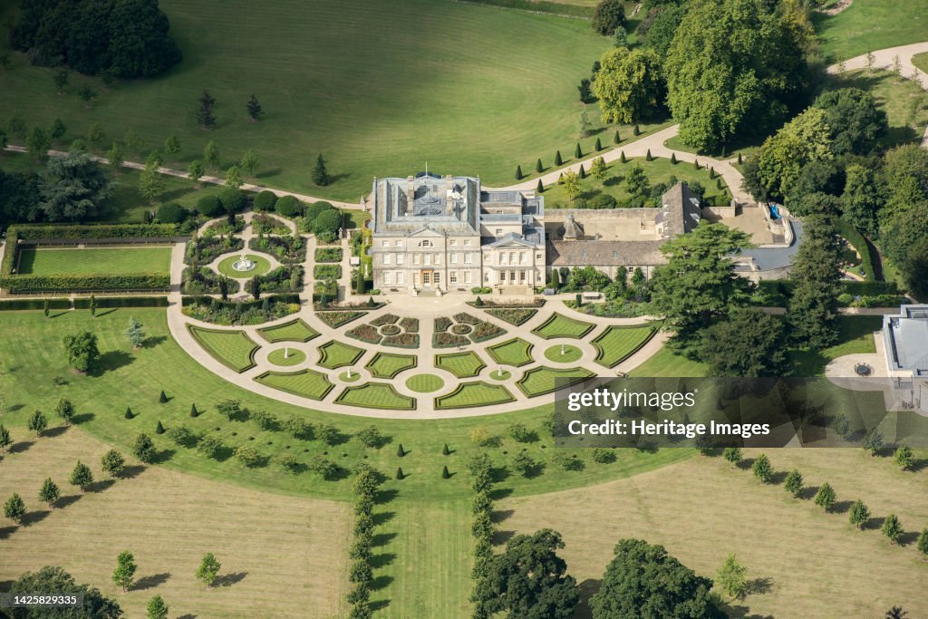
Williamstrip Park sits in the southern Cotswolds: a working agricultural and field-sports estate, with parkland at its heart and game cover, woodland and let farms beyond. Anthony first mapped it in 2016, and has returned to the map three times since, as land has been acquired, as new shoot drives have been developed, as the parkland has evolved.
A Map That Grows With the Estate
This is what most clients come to find. A bespoke map is not a single deliverable but a record of the estate as it stands, made so that change can be added to it. Each new version of the Williamstrip map supersedes the one before, and the estate hangs the current one on its walls. The map has grown with the land.
Game Cards from the Same Survey
The estate's game cards, the pocket maps carried by guns and beaters through the season, are drawn from the same survey as the wall map. Each season's changes to the drives are reflected in the cards before the first shoot day.
The Map
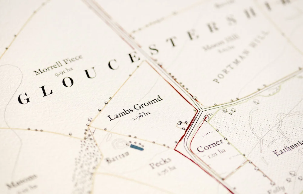
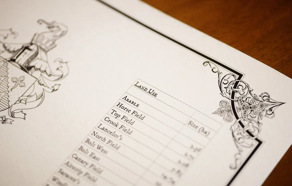
The decorative map measures 1.6 by 1.2 metres, drawn in the studio in Hampshire and printed in London on heavyweight archival paper. Along it runs a list of every named field, wood and drive, with its hectarage. Some of those names had not been written down in living memory before the commission.
Williamstrip is one of more than a dozen Gloucestershire and Cotswolds estates Anthony has mapped. Others include the Gawcombe Estate, Icomb Place, Salperton Park, Todenham Manor, Farmcote Estate, the Windrush Estate and the Old Mill at Lower Slaughter, with several more held in confidence. It is a part of the country Anthony knows as well as any.
Some details on this page, including certain shooting drives and images, are drawn from a sample estate, a fictional property used in place of the originals out of respect for client confidentiality.





Frequently Asked Questions
-
Six to twelve months from first conversation to delivery of the framed print, with research-intensive commissions running longer.
-
Yes. Around a fifth of the studio's annual work is returning to maps already made — new land, new buildings, new drives, additional illustrations. Each updated version of a Williamstrip Park-style estate map supersedes the one before, and the map grows with the property.
-
Yes. Pocket-sized game cards are produced from the same data as the decorative map, and updated each season as drives change. They are designed to be carried in the field by guns, beaters and pickers-up.
-
Williamstrip Park is one of more than a dozen Gloucestershire and wider Cotswolds properties Rural Maps has mapped. Others include the Gawcombe Estate, Icomb Place, Salperton Park, Todenham Manor, Farmcote Estate, Windrush Estate, the Old Mill at Lower Slaughter, and several more held in confidence. The Cotswolds is one of the regions Rural Maps knows best.