

The Process
From first conversation to the map on the wall, usually six to eighteen months

Every commission is different, but each follows the same path. It begins with a conversation and a rough boundary, and ends with a finished map delivered and hung. In between is the part that sets the work apart: time on the ground, and the care taken to record what no survey holds. Most commissions take between six and eighteen months, the largest longer.
The Two Paths
There are two ways to commission, and the path forks early. A studio map is drawn remotely, from survey data, boundary records and aerial imagery, without a site visit: a faithful, finely drawn record, well suited to smaller or simpler properties. A full commission begins with Anthony on the ground, and the map is drawn from the survey he gathers there. The steps below describe the full commission; the studio map follows the same path from the working draft onward, without the visit.
1. The First Conversation
It starts informally: a conversation about the property and what the map is for. To begin, all that is needed is a rough boundary marked on an existing map. Scope can be settled remotely, or, for a larger commission, confirmed on a first visit. Many clients ask how much of their own time is needed; the survey is largely Anthony's own work, and what he asks of you is your knowledge, time walking the land together, and access to the records and memories no map has captured.
2. The Working Draft
From aerial imagery and records, a first working draft is prepared in the studio: the framework of the map, the boundaries, the tree positions, the access routes and the buildings, against which everything found on the ground is then checked, corrected and enriched.
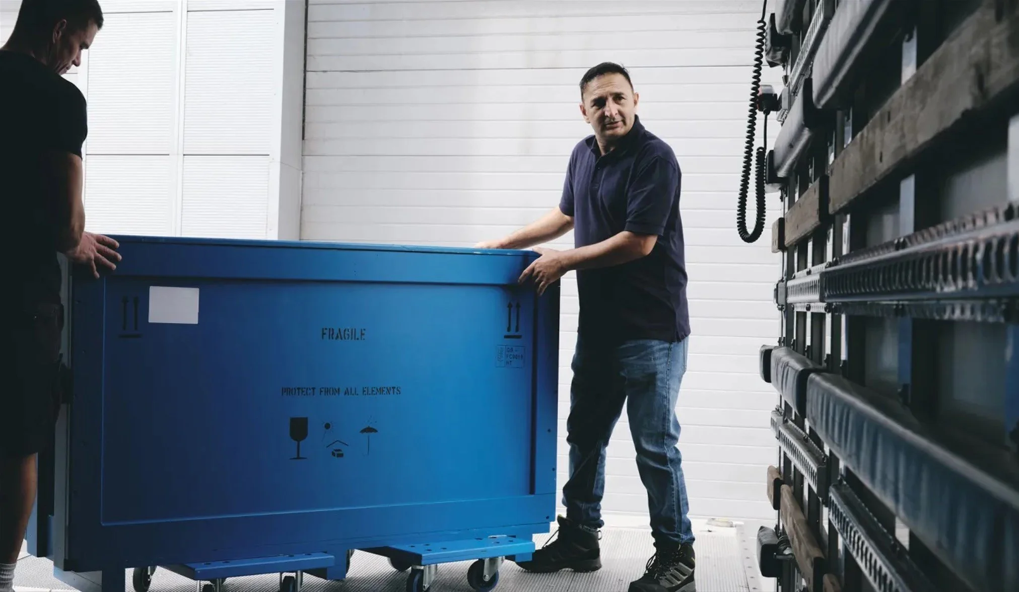
3. The Survey
The site visit is the heart of a full commission, and most of it is physical. Anthony drives the trails by ATV and walks the boundaries in all weathers, using GPS and drone to record what can be seen from above, and his own feet to find what cannot. Much of what matters most is invisible to the imagery: trails and tracks hidden under tree canopy, features too recently made to have been captured, often several miles of them, plotted by GPS only once he is on the ground. For larger properties this means more than one visit across more than one season. Roughly three-quarters of the time on the ground is survey; the rest is spent with the people who know the place, owners, managers, keepers, recording what they carry.

Anthony working on a US cattle ranch.
4. Approving the Draft
By now the working draft has become the full survey: your whole property as recorded, with every name, label and detail set down. It is sent to you to live with for a while, to check and approve and add anything missed. Most commissions go through a round or two together before it is right, and only once you have signed it off does the finished map begin.
5. Drawn in the Studio
Once the draft is approved, the finished map is drawn. The drawing is done by hand, on screen rather than on paper: a modern hybrid of traditional draftsmanship and digital tools, worked up by Anthony and a small studio to his direction, much as the engravers and colourists once worked alongside the mapmakers of the eighteenth and nineteenth centuries. Every tree is set down individually and every field named, the finished map built up from the approved survey.

An illustration drawn with reference to a client photo
5. The Illustrations
Where a map carries illustrations, they are the work of the artist Jonathan Pointer, who works in pencil and gouache. Drawn from photographs taken on site or supplied by the family, they are particular to your property and to no other: the house in its setting, the dogs, the game and wildlife, the family arms, a vignette of the parkland or the lodge. The illustrations are composed as part of the map rather than added to it, so the whole reads as a single piece. The original drawings are sent to you on completion, yours to keep, framed alongside the map or hung in their own right.
Where a family has its own coat of arms, Anthony works with heraldic artists to set it within the map.

6. Printed, Framed and Delivered
The finished map is printed on heavyweight archival Giclée paper by a specialist fine-art printer in London. Framing can be arranged through Derek Tanous, one of Europe's finest traditional framers, and shipping and installation, anywhere in the world, through Momart, the fine-art shippers. Distance is no barrier; maps have been delivered across the United States, Europe and Australia.
The Studio
The historical research, the survey on the ground and the design of each map are Anthony's own, and clients deal with him directly throughout, from first enquiry to final delivery. The studio works behind him, to his direction.
Historically, a cartographer would send out a survey party to walk the land and bring back rough plans and notes, all of which fed into the finished map under his direction. The Rural Maps studio works in much the same way today, the raw material now gathered from above as well as on foot. Ben carries out the studio survey from aerial imagery, building the framework that is then verified and completed on the ground. Catherine sources that imagery, at times tasking a satellite to turn its lens to a particular stretch of land anywhere in the world. Rachel's eye is for the quality of the line itself: she studies the drawing techniques of the old cartographers in the map reading room at the British Library, the weight and character of their hands, and brings that sensibility to the way each map is drawn today.
A Map That Grows With the Property
A map is rarely the end of the story. Land changes hands, woods are planted, a new lake is dug, the next generation takes on the farm. Because each map is drawn rather than painted, it is never a fixed object that has to be begun again. The original can be reopened and revised, a fresh sheet printed, and the updated map set into the same frame in place of the old. Many of Anthony's maps have been added to over the years, new ground, new planting, new buildings, so the record on the wall keeps pace with the land it describes. Roughly a fifth of each year's work is returning to maps already made.
Beyond the Frame
The survey does not end on the wall. Where it is useful, the same data is delivered as a working tool: a colour-coded board for the office, and an app, LandApp in Britain, LandID in the United States, through which managers, keepers and contractors can turn layers on and off, see their position on the ground, and navigate the property offline, beyond mobile signal. The map hangs in the house; the survey goes on working in the field.