EV Ranch, Colorado
85,000 ac on Piceance Creek, and the cattleman who built it from nothing
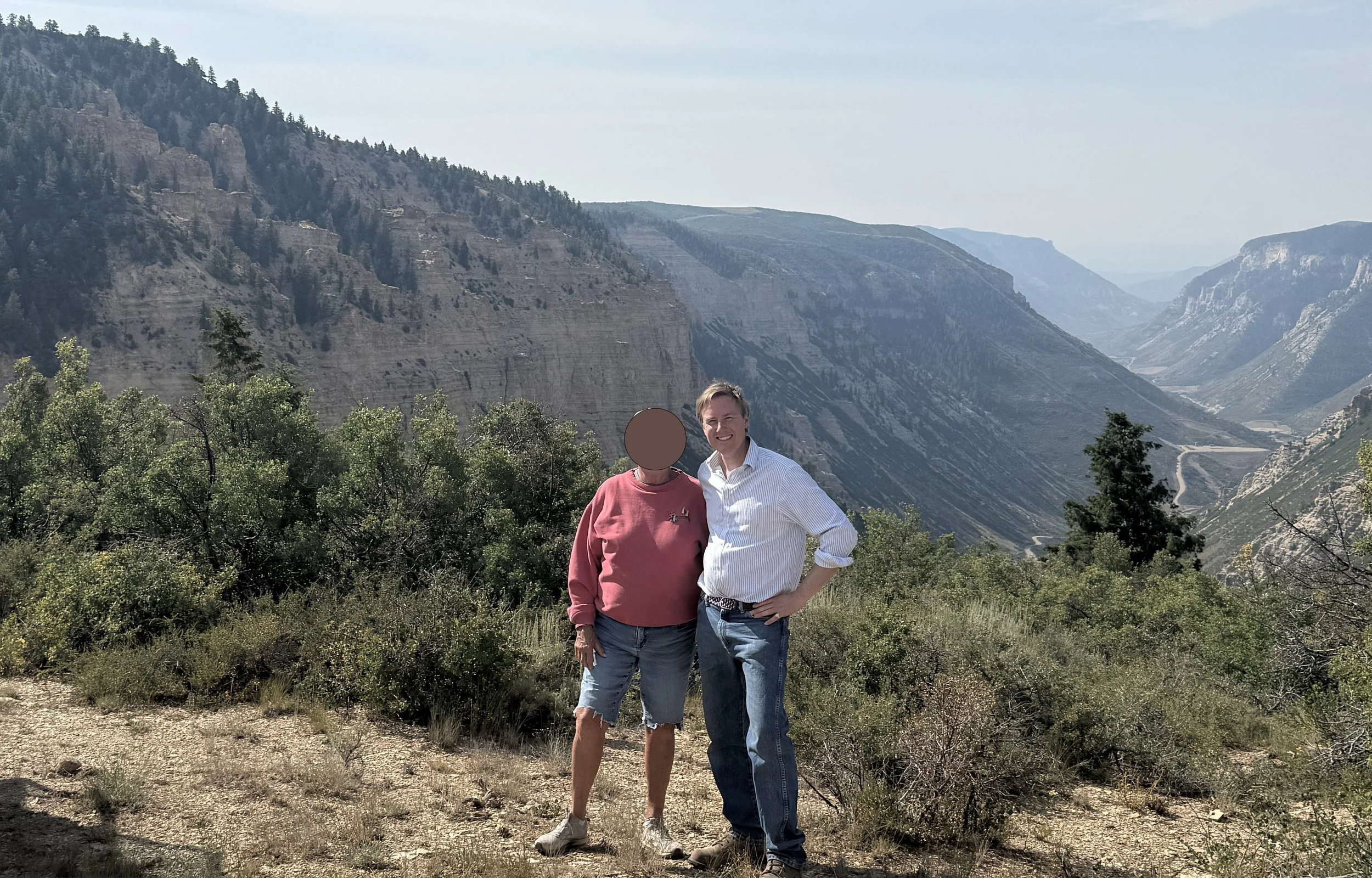
In 1923 Pat Johnson came to Piceance Creek, in the Flat Tops of Rio Blanco County, the son of a hired hand from Texas. He spent his whole life building the EV Ranch: starting with nothing, taking in neighbouring ground over six decades, and leaving eighty-five thousand acres of Colorado high country to those who came after. His grandson, Ty Schultz, commissioned Anthony to map all of it.
The Stories on the Ground
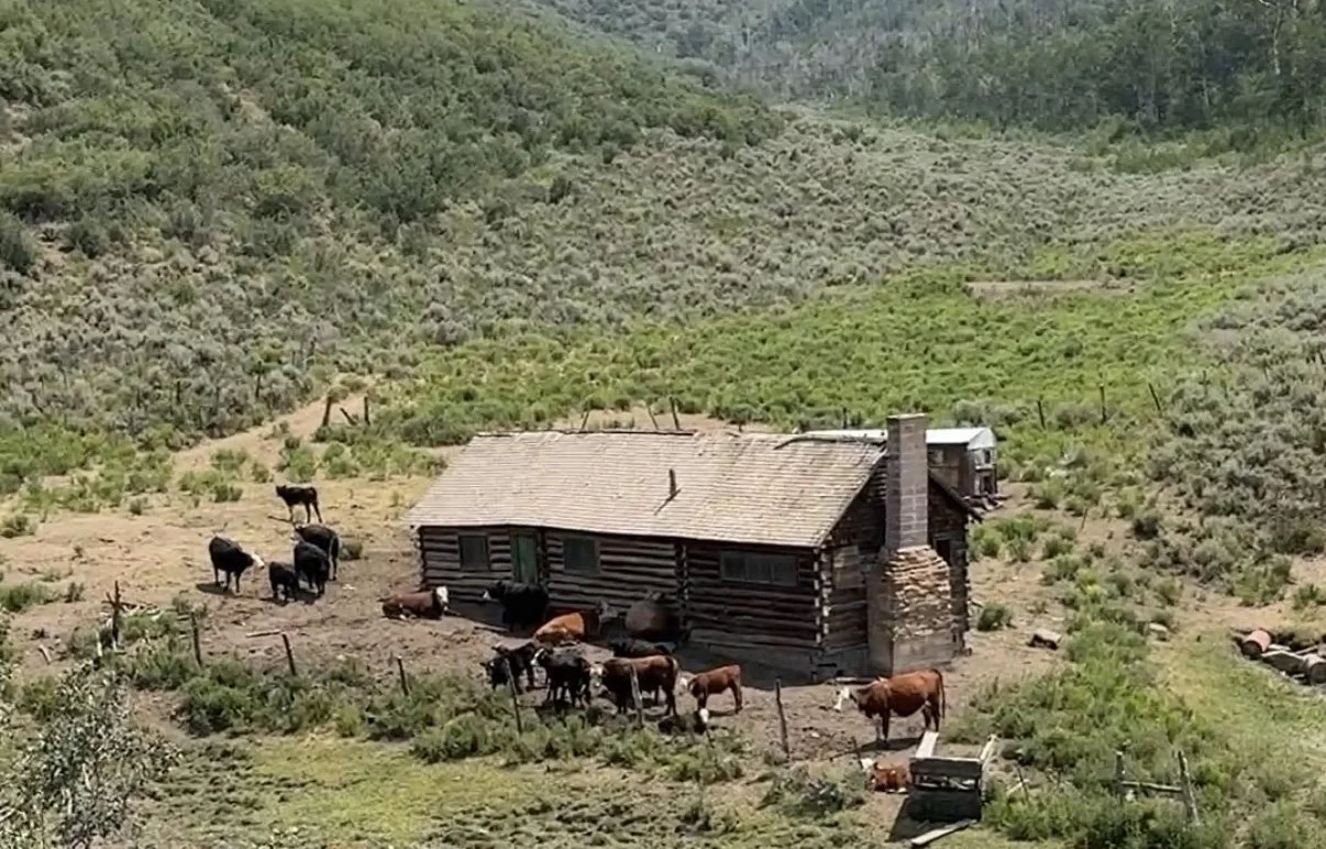
The cabin where Pat and his wife honeymooned in 1945 still stands, just. A dozen or so crumbling homesteads are scattered across the ranch, each one the story of someone who tried and left. One still had a note pinned to the table with a knife: "Two miles to water, two miles to wood. I'm going back to Missouri and I'm staying for good." All of it is on the map now. The map will outlast the cabin.
The Survey
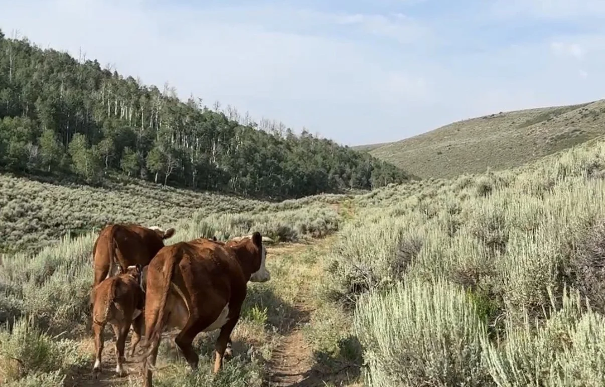
The commission began, as many American ones do, with an unhurried meeting in London while the family were over from the States, before any travel to the ranch was arranged. The survey itself ran to two visits and ten days on the ground, with GPS and drone where the country called for it. At this scale, deeded land runs alongside leased and public ground, and the map shows all of it, recording what the land is, not only who holds it. A ranch of this size, with this depth of family history, is among the longer commissions Anthony takes on, close to two years from first conversation to finished map.
The Fire
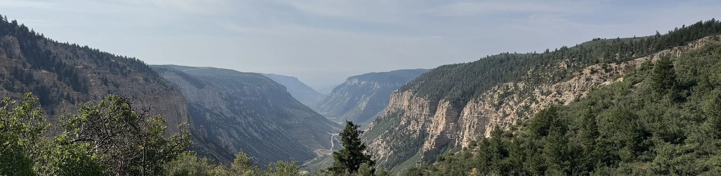
About a week after the survey visit, the Lee Fire, the fourth largest wildfire in Colorado's history, came within fifty yards of the ranch boundary. The map remains.