


Sand Creek Ranch, Wyoming
A working map of a 13,000-acre cattle ranch: for the headquarters, the trucks and the ground itself
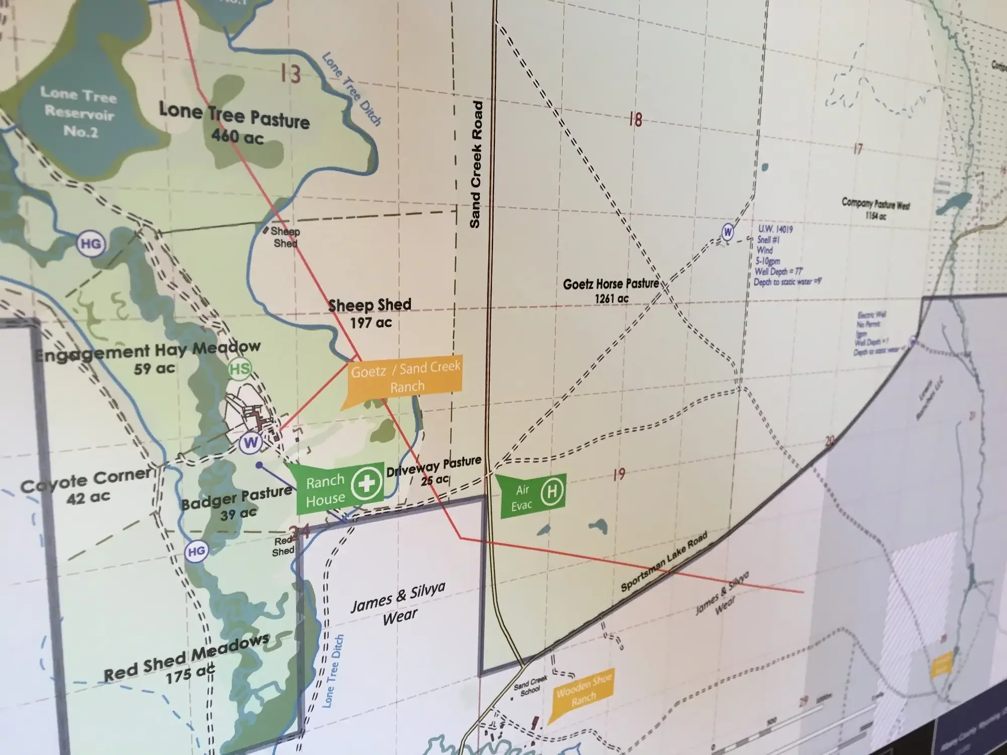
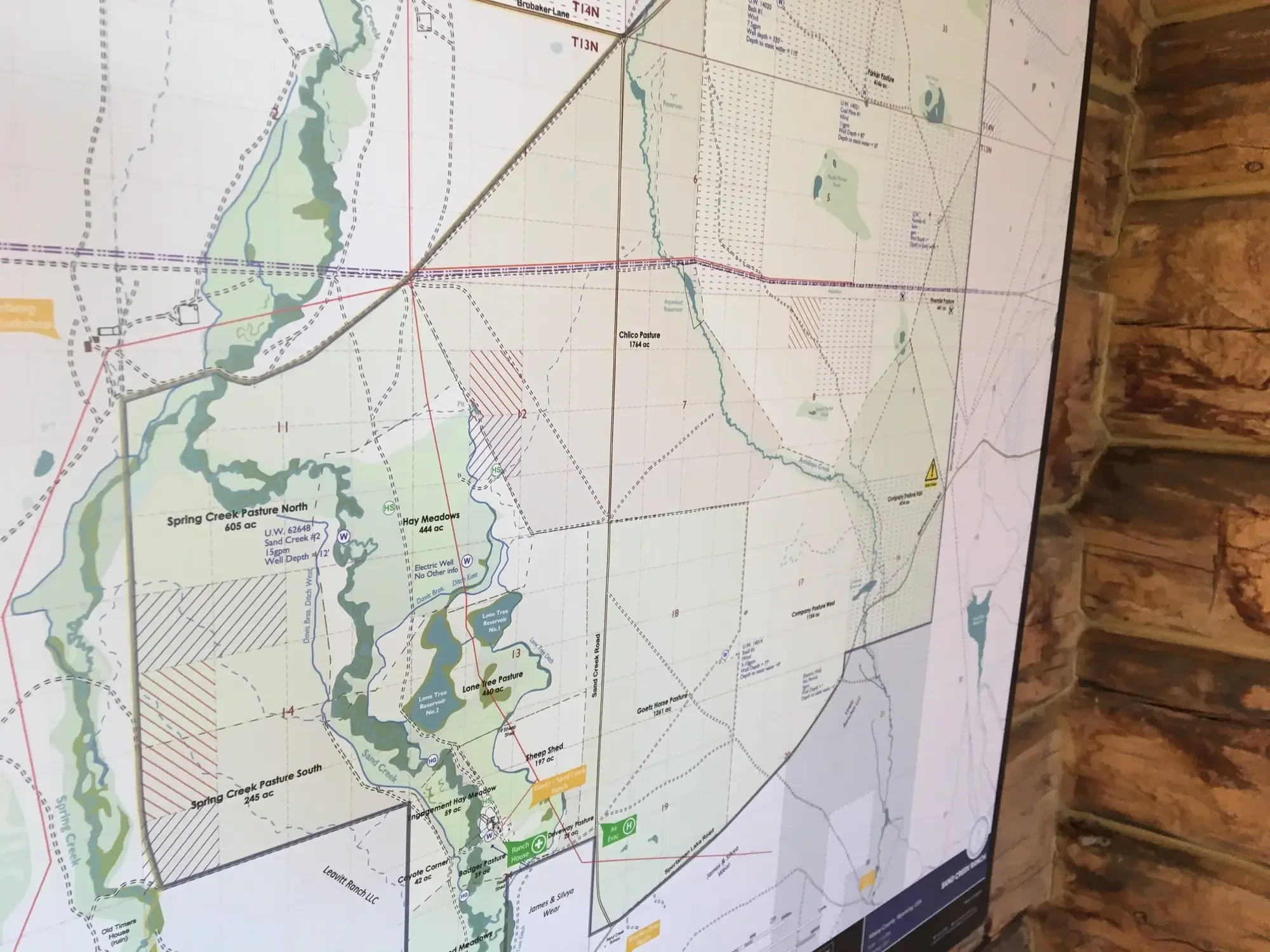
A working ranch map does something a decorative one does not. It is consulted daily, marked up in a hurry, replaced when the country changes, carried in vehicles that live in dust and weather. The Sand Creek commission was built around that purpose from the first conversation: thirteen thousand acres of Wyoming cattle country, deeded land sitting alongside BLM and State leased ground, every pasture plotted to scale.
A Document Both Parties Trust
Sand Creek is run as a tenanted ranch, and the map anchors the working relationship between landowner and tenant. When a question arises over a fence line, a water issue, a grazing rotation, the responsibility for a piece of infrastructure, both refer to the same map: the same pasture names, the same boundaries, the same record of what is owned, what is leased and what is shared. It takes the ambiguity out of a relationship that depends on clarity.
A Map That Changes How the Ranch Is Run
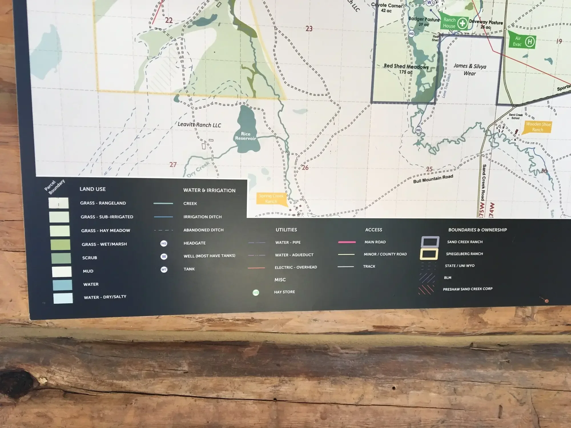
The map has become the document that drives improvement on the ground. Water tanks, service yards and power lines are recorded where they actually are, not where the older maps remembered them; active irrigation ditches are told apart from the historic ones no longer in use. From there, hay meadows have been brought into better production, ditch networks re-cut, and ground recovered from country once dismissed as unworkable, each decision informed by what the map makes visible, and planned by owner and tenant together. A good map does not only describe a property. It changes how it is run.
Where the Risk Is
It is also where risk is recorded. Sand Creek carries several large sinkholes, some deep enough to swallow a truck, plotted precisely. For anyone new to the country, the map is the difference between knowing the ground and finding it the hard way.
Two Formats, One Survey
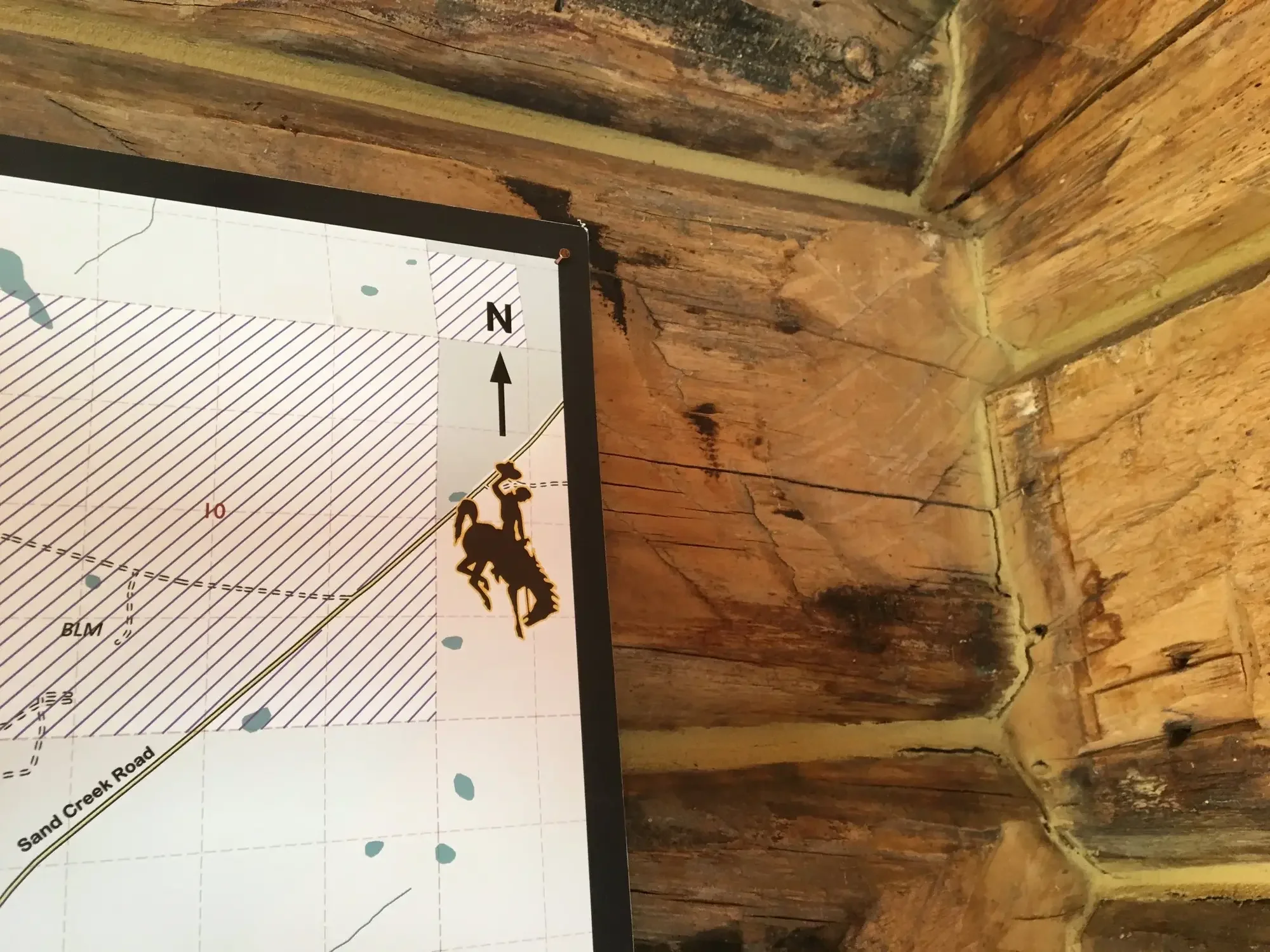
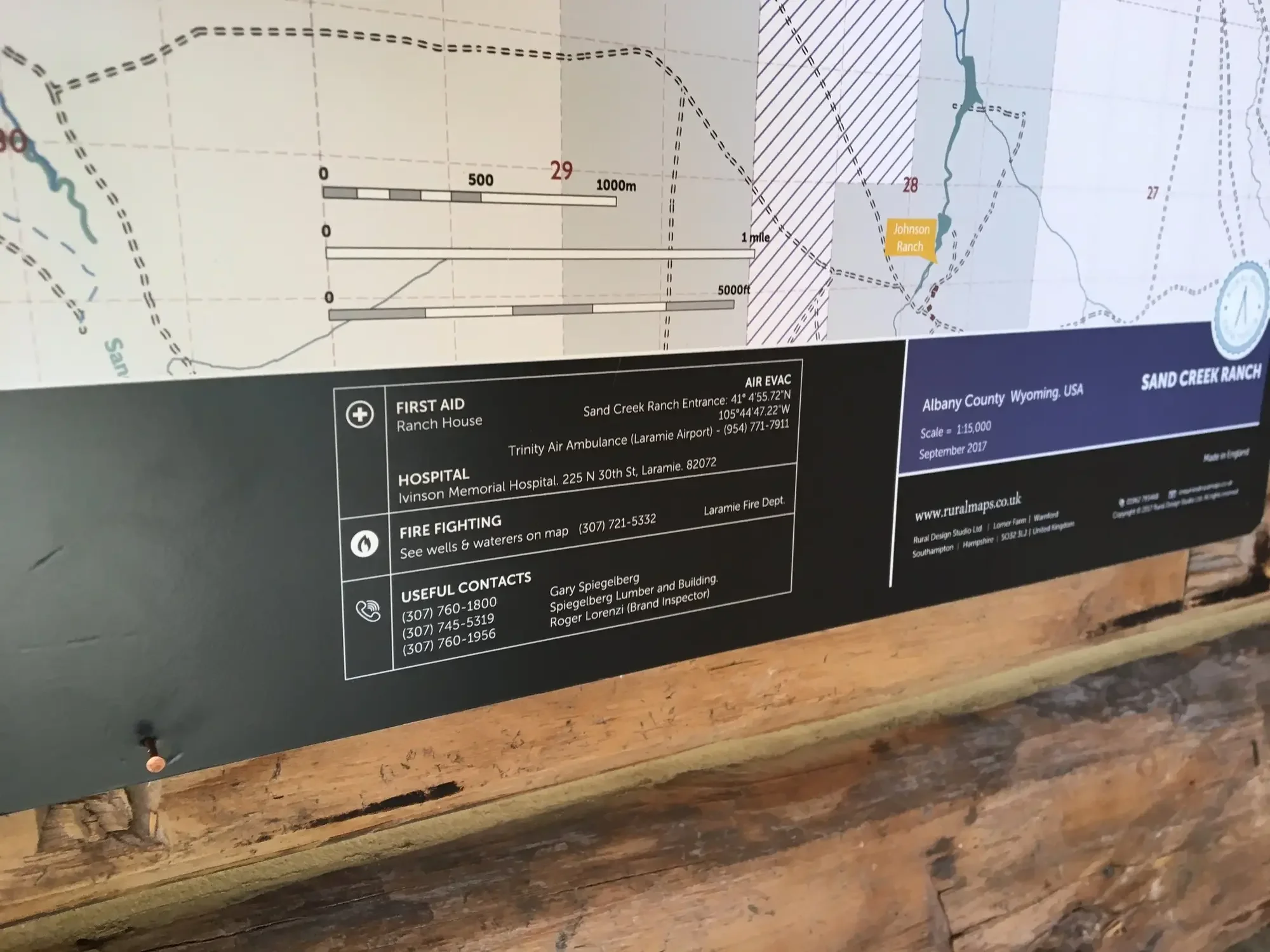
The maps are made in two forms. Large wipe-clean boards hang at the ranch headquarters, drawn on with dry-wipe marker and updated as the season turns. Smaller water- and tear-proof copies, pre-folded for trucks and ATVs, live in the vehicles. Both come from the same survey, so the headquarters board and the truck-cab map always show the same country.
“A good map is a pleasure to use. We recommend Rural Maps. They produce the best maps we have ever seen.”
One Map Led to the Next
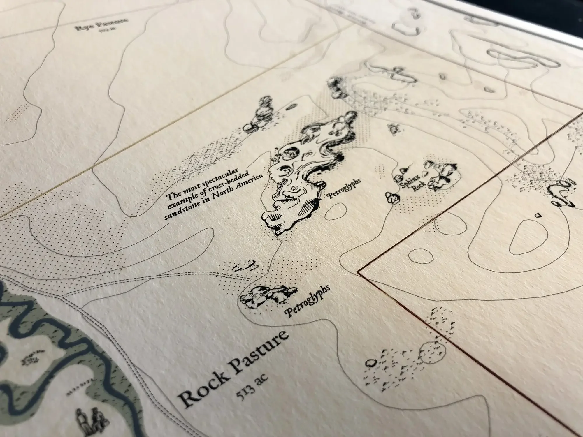
The best endorsement of a working map is another commission. On the strength of Sand Creek, the tenant who runs the ranch commissioned a map of his own, the Spiegelberg Ranch, drawn by the same methods. The Wooden Shoe, another of the neighbouring ranches, was mapped in turn, and a decorative version of that map now hangs at the Laramie Plains Museum, a record of one of Wyoming's historic ranches that visitors can stand in front of and read.
A working map like this is one half of what Anthony makes; the decorative, illustrated maps are the other, and many ranches commission both, from the one survey. To discuss a map of your own, please get in touch.

Frequently Asked Questions
-
A decorative map is a hand-illustrated heirloom for the wall — a permanent record of the property in the tradition of 18th- and 19th-century estate cartography. A functional map is a working tool for the headquarters, the office, the truck and the ATV. It is designed to be marked up, replaced, and updated as the country changes. Many clients commission both, produced from the same survey data.
-
Yes. Tenanted ranches, let farms, and leased sporting estates all depend on clarity between the parties — what is owned, what is leased, who is responsible for which fence, ditch, gate or piece of infrastructure. A comprehensive, up-to-date map gives the landowner and the tenant the same reference document, so conversations about specific places become conversations about specific places both parties can see. Many commissions, including Sand Creek, are built around exactly this need.
-
Yes. At Sand Creek the map has informed years of measurable improvement: hay meadows progressively brought into better production, ditch networks rehabilitated and re-cut, ground recovered from country that was once dismissed as unworkable. A map that records the property accurately, in detail, becomes the basis on which the property can be improved — because owner, tenant, contractor and consultant are all working from the same document.
-
Yes. Rural Maps has mapped properties in Wyoming, Colorado, Montana, Texas, Florida, Washington and elsewhere across the West. The EV Ranch case study describes a larger Colorado commission with a heavier decorative and historical focus.
-
With precision. At Sand Creek, several large sinkholes — some deep enough to swallow a truck — are plotted on every version of the map, from the wipe-clean board at the headquarters to the folded copies in the vehicles. For anyone new to the country, the map is the difference between knowing the ground and finding it the hard way.
-
Large wipe-clean boards for the headquarters, designed for dry-wipe marker. Smaller water- and tear-proof versions, pre-folded for trucks and ATVs. Both formats come from the same survey, so the headquarters board and the truck-cab map always show the same country.
-
Yes. Most Western ranches do, and the Sand Creek commission is a clear example. The cartography distinguishes deeded land, BLM grazing allotments, State leased ground, and adjacent public land, so the map records what the ranch actually works with — not just the title boundary.
-
Functional ranch maps start lower than decorative commissions because the research and illustration burden is less. Please contact us for a quote tailored to the size and complexity of your property.