Blenheim Palace, Oxfordshire
The most celebrated of Capability Brown's landscapes, drawn in full
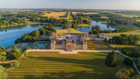
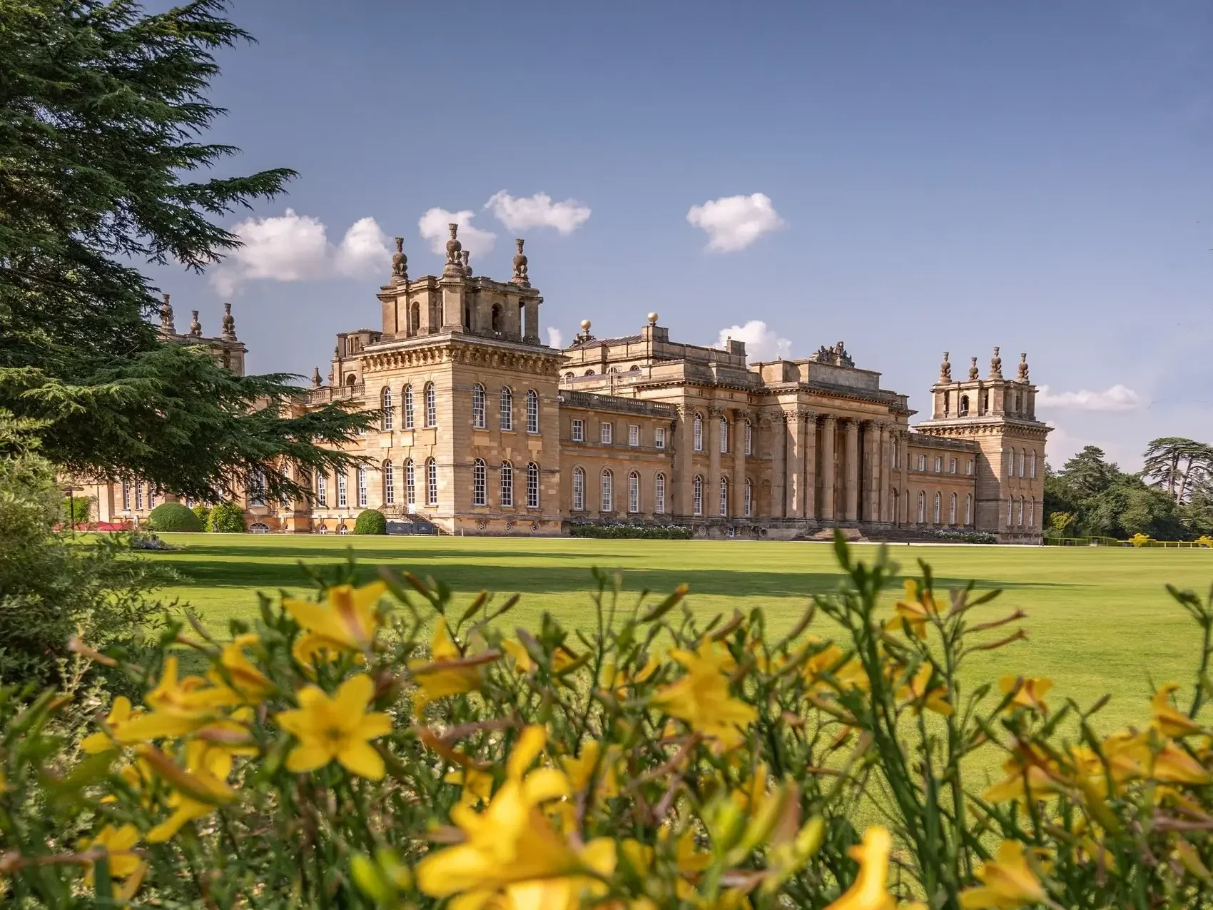
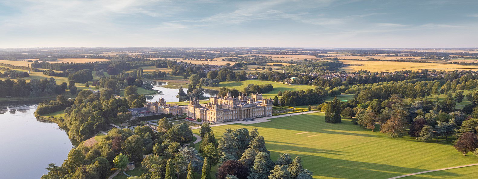
Few landscapes in England are better known, or harder to do justice to. Blenheim sits in two thousand acres of Oxfordshire park: seat of the Dukes of Marlborough since the early eighteenth century, birthplace of Sir Winston Churchill, a UNESCO World Heritage Site, and the most famous surviving work of Lancelot "Capability" Brown, whose lake, parkland and woodland remain substantially as he laid them out in the 1760s.
The Map
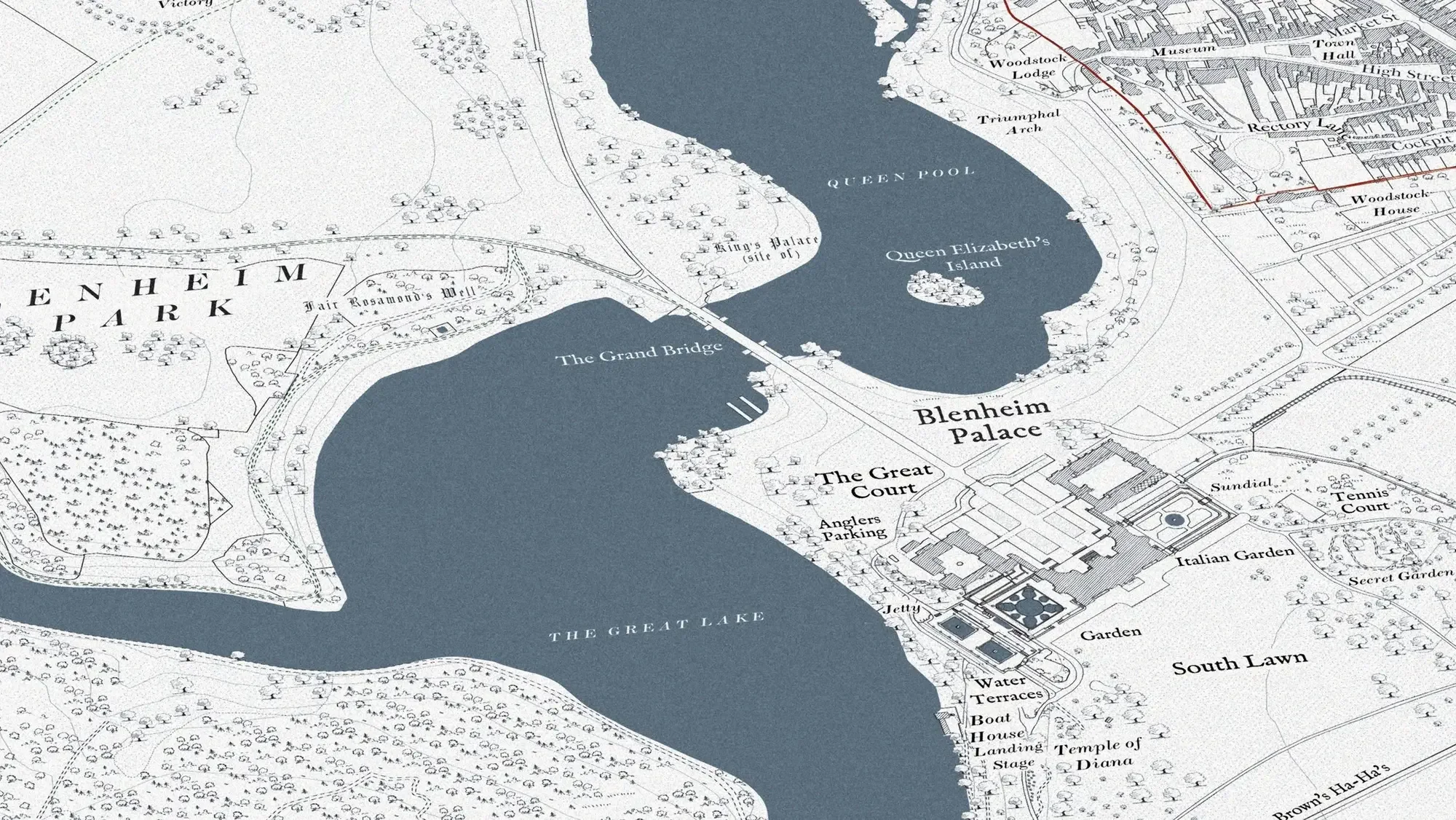
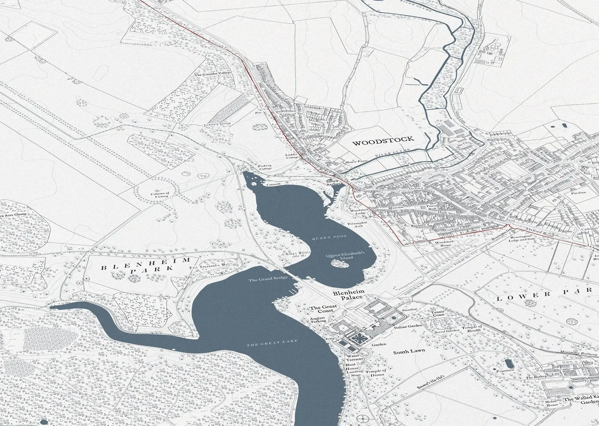
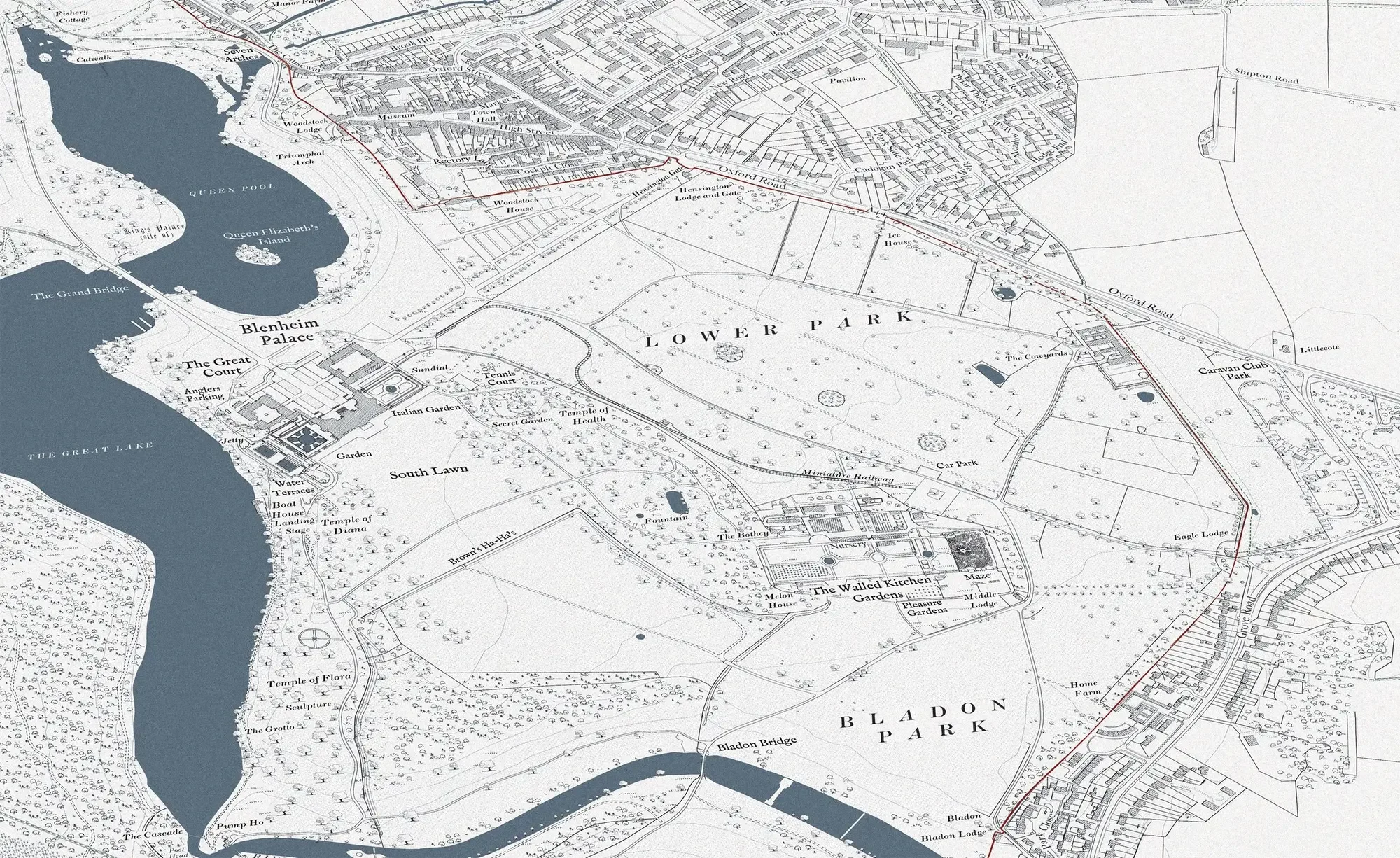
The map records Blenheim as a single composition: the palace itself, Vanbrugh's Grand Bridge, the Column of Victory, the Walled Garden and Pleasure Gardens, the lake, and the woodland walks that thread the park. Every path in the Marlborough Maze is plotted exactly, three thousand yews filling nearly two acres of the Walled Garden with two miles of pathways. It is the kind of subject that rewards the level of detail Anthony works at, and that a smaller map could only suggest.
A Brown Landscape, by a Maker Who Knows Them
Brown's landscapes are a particular thread in Anthony's work. Before founding Rural Maps he helped realise part of a Brown park at Heveningham Hall in Suffolk. Mapping a landscape like Blenheim draws on that: an understanding of how these parks were composed, and the patience to record one faithfully.